
















L.A.’s Dry Heat Is Missing—and the Pacific Has Receipts
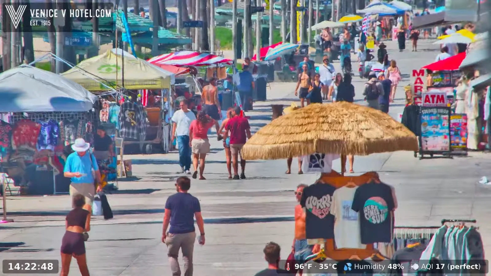
Here at INYIM Headquarters, Los Angeles has been hot, sticky and frankly acting like it forgot what coast it lives on. The air has had that heavy, tropical feel again — the kind we remember from August 2023, when Tropical Storm Hilary rolled into Southern California and a magnitude 5.1 earthquake near Ojai decided to join the party on the very same afternoon.
This time, there has been less rain at our end of town, but the heat and humidity have felt every bit as aggressive. So the obvious question is: is this L.A.’s new normal?
The short answer is: not every summer will feel exactly like this one, but the ingredients making these muggy stretches possible are becoming harder to dismiss as a fluke.
weather
Surviving L.A.’s Sticky Heat
The humidity is making extreme heat feel even rougher. Keep the official forecast close, then add a couple of simple cooling helpers for the next hot stretch.
Some links may be affiliate links. INYIM may earn from qualifying purchases.
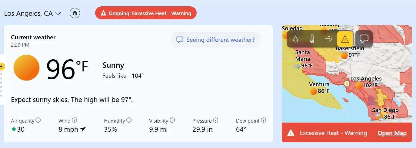
On September 9, 2026, the National Weather Service had an Extreme Heat Warning in effect for much of Los Angeles County, including downtown, with temperatures expected to reach roughly 92 to 108 degrees across the warned area. Forecasters also specifically noted that humid conditions would add to the discomfort.
And this week’s swamp factor has a very real source. Hurricane Marie stayed offshore, but its tropical moisture did not. The storm helped push rain, thunderstorms, high surf and a deep plume of humid air into Southern California before its remnants continued feeding moisture into the region. At the same time, a strong ridge of high pressure built over the West, allowing the temperature to spike while much of that moisture was still hanging around.
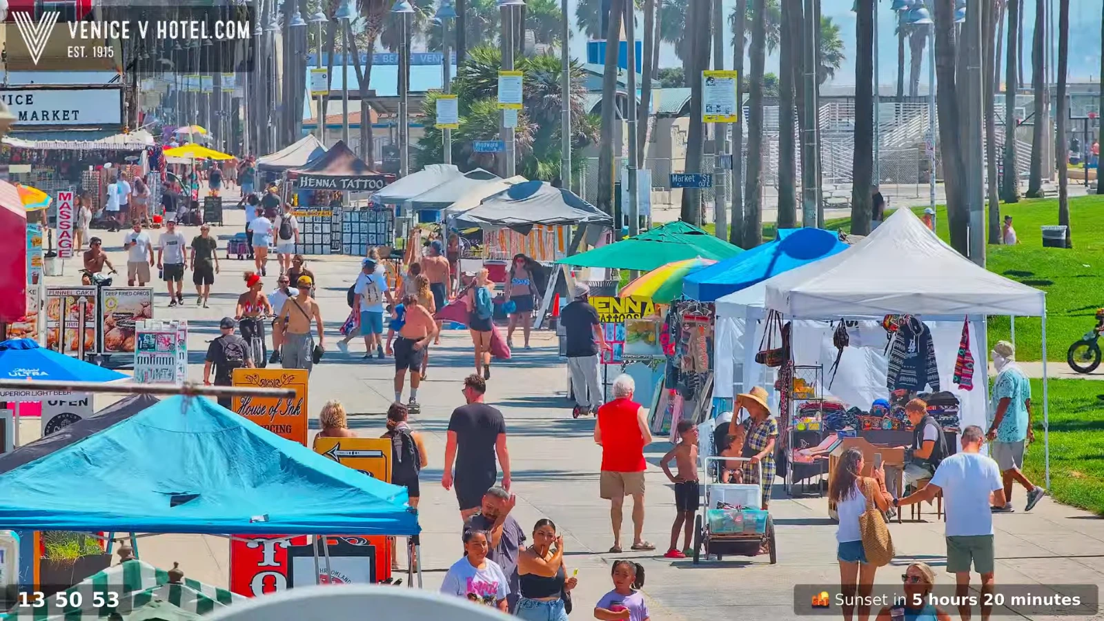
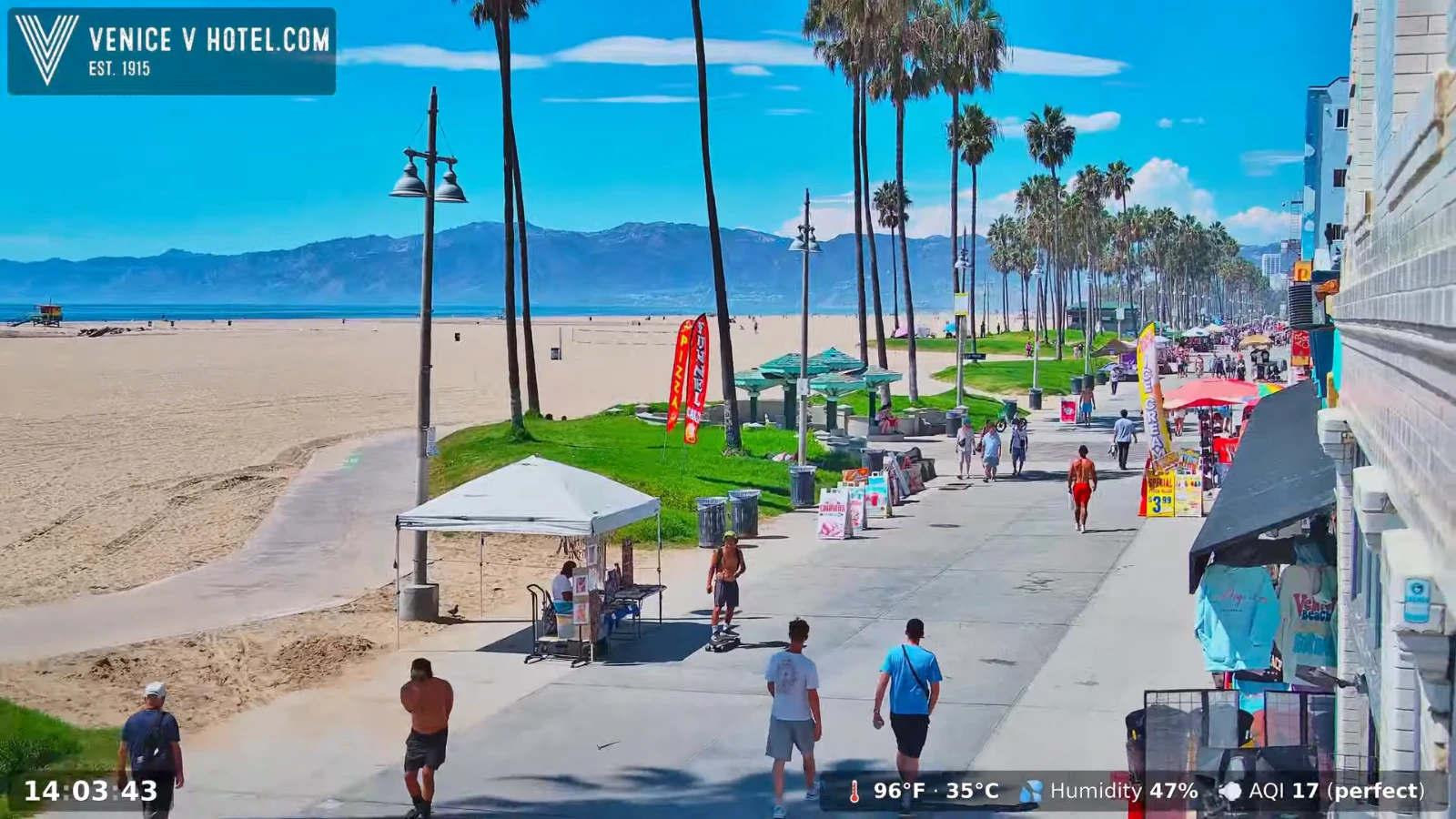
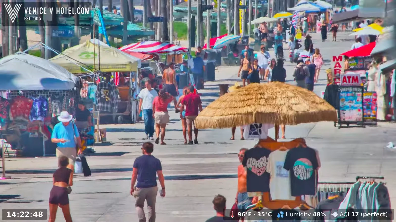

The bigger story is what is happening offshore. NOAA says a marine heat wave that has persisted since May 2025 is still affecting parts of the coast, especially off central and Southern California. Warmer ocean water matters because it can warm the air above it and add more moisture to the atmosphere — exactly the opposite of the crisp, dry summer setup Angelenos expect.
That helps explain why 2026 has felt unusually sticky even before Marie arrived. Southern California has already dealt with prolonged monsoonal moisture and tropical leftovers from other Eastern Pacific systems this summer, while unusually warm coastal waters have helped keep humidity and overnight temperatures elevated. In other words: Marie did not create the whole summer. It poured another tropical drink into a glass that was already pretty full.
Then there is the climate-change piece. A warming climate does not mean every Los Angeles summer suddenly becomes Miami, and no responsible scientist can pin one sticky afternoon on climate change alone. But warmer oceans and warmer air increase the amount of moisture the atmosphere can hold, while extreme heat and unusually warm nights are becoming more likely and more intense. Climate scientists studying Southern California say episodes like this are expected to become more common as the climate warms.
So when we ask whether this is the new normal, the answer is more annoying than a clean yes or no. The individual hurricane plume is temporary. The background conditions helping make L.A. hotter, warmer at night and capable of these longer humid stretches are not.
That does not mean Los Angeles loses its Mediterranean climate overnight. We will still get dry offshore winds, cool marine layers, crisp fall afternoons and stretches where humidity falls off a cliff almost as quickly as it arrived. But the range of what now counts as “normal” Southern California summer weather appears to be getting wider — and weirder.
Which brings us back to 2023. Tropical Storm Hilary and the Ojai quake arriving together was such an absurd combination that Angelenos immediately dubbed it the “hurriquake.” The earthquake was unrelated to the storm, but the memory stuck because Southern California briefly felt like every emergency alert had decided to go off at once.
Three years later, we are back under tropical moisture, record-level heat and a Pacific that is running unusually warm. No earthquake cameo this time, thank you very much. But the weather itself is starting to feel less like a one-off and more like a recurring guest star.
L.A. is still L.A. The dry heat is just going to have to fight harder for screen time.
Watch the September 2026 Los Angeles Weather Short
A YouTube Short supplied with INYIM’s September 9 Los Angeles weather report.
Watch the Second Los Angeles Weather Video
A second YouTube video supplied with this INYIM weather story.
Source: National Weather Service Los Angeles/Oxnard; NOAA California Current Integrated Ecosystem Assessment; Los Angeles Times; Associated Press.